The Glanmore Lake Loop — Step-by-Step Route
Detailed breakdown of the easiest approach to Glanmore Lake. Rest spots marked, distance estimates, and what you'll actually see along the way.
Why This Route Works
Glanmore Lake isn't some hidden secret anymore, but the loop we're describing here is genuinely the best way to experience it without overexerting yourself. It's a 5.2km circular walk that takes most people around 2 hours at a comfortable pace. You're not fighting elevation gain the whole way — there are flat sections, gentle climbs, and proper places to stop and actually enjoy the view.
The route starts and finishes at the same car park near Lauragh village. You'll walk through mixed woodland, open moorland, and get right down to the lake shore where the water reflects everything perfectly on a calm day. There's real variation in what you see, which keeps things interesting without being overwhelming.
The First 1.5km — Into the Forest
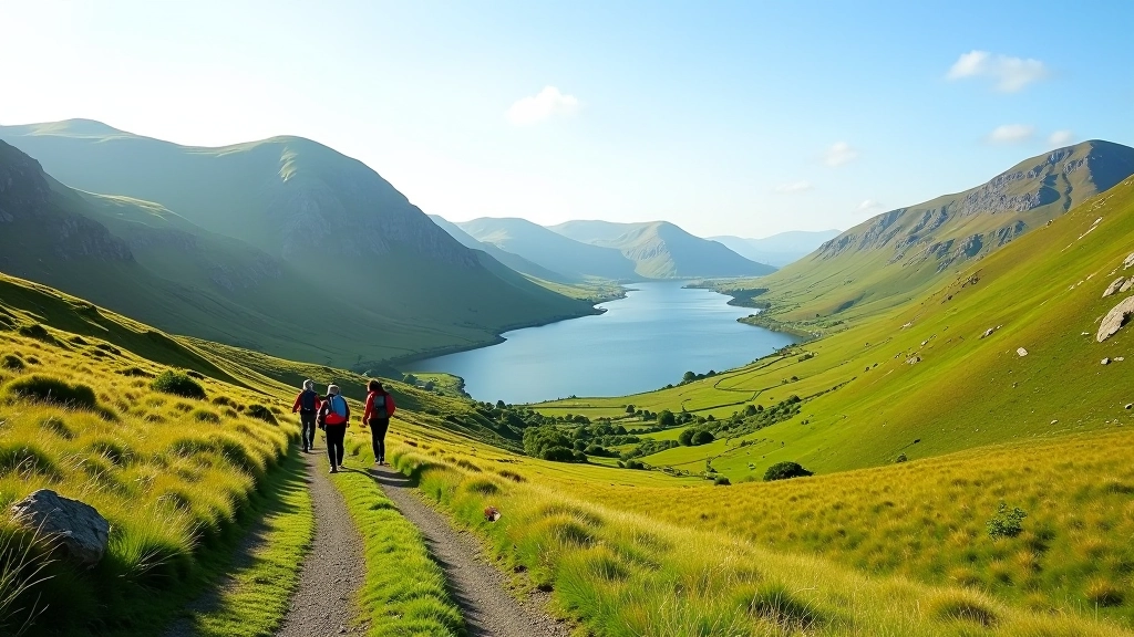
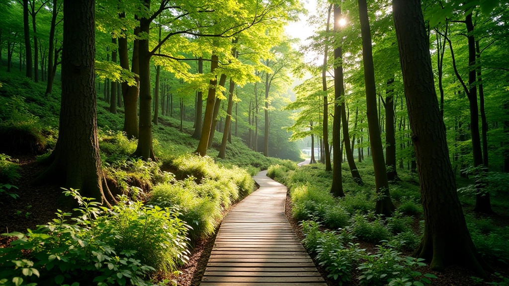
You'll start on a proper track that's well maintained and easy to follow. The first bit takes you through forest — beech and oak mostly — so you're shaded from direct sun. This is where you settle into your pace. Don't rush. The track has a gentle slope upward, nothing steep, and you'll feel your legs warming up without strain.
About 800 metres in, there's a small wooden bridge crossing a stream. It's not dramatic but it's a good marker that you're making progress. After another 700 metres, the trees start to thin out and you'll get glimpses of the surrounding mountains. This is roughly 20-25 minutes of walking from the car park.
First Rest Spot: At 1.5km, the forest opens onto moorland. There's a natural place to stop here where a flat rock overlooks the valley. It's the perfect spot to catch your breath and have some water.
The Middle Section — Moorland to the Lake
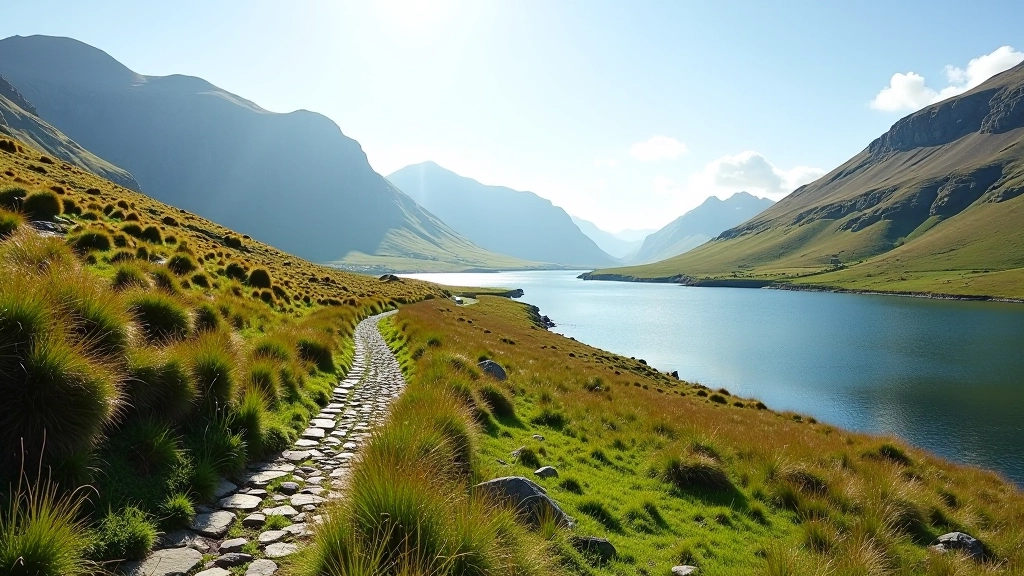
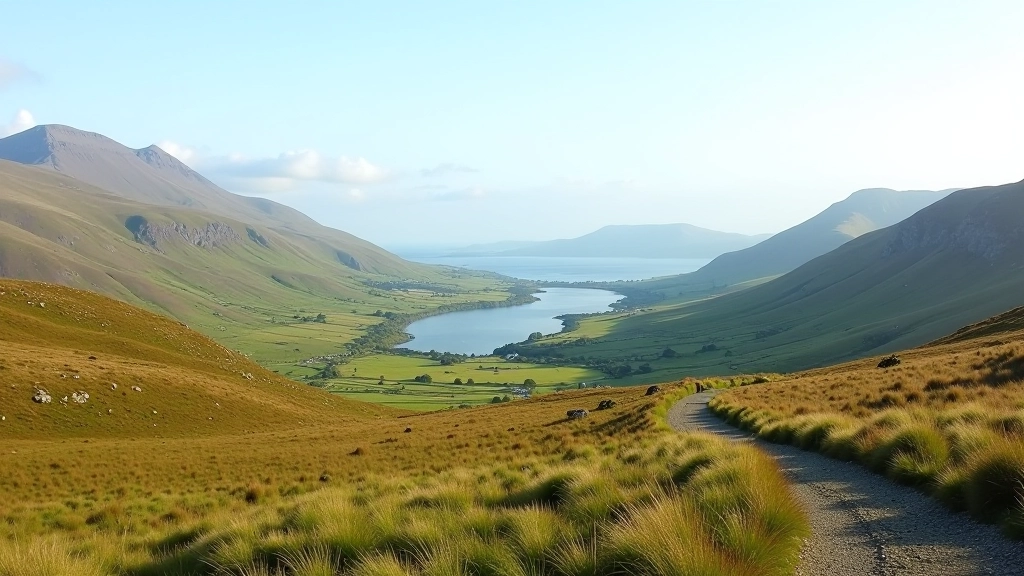
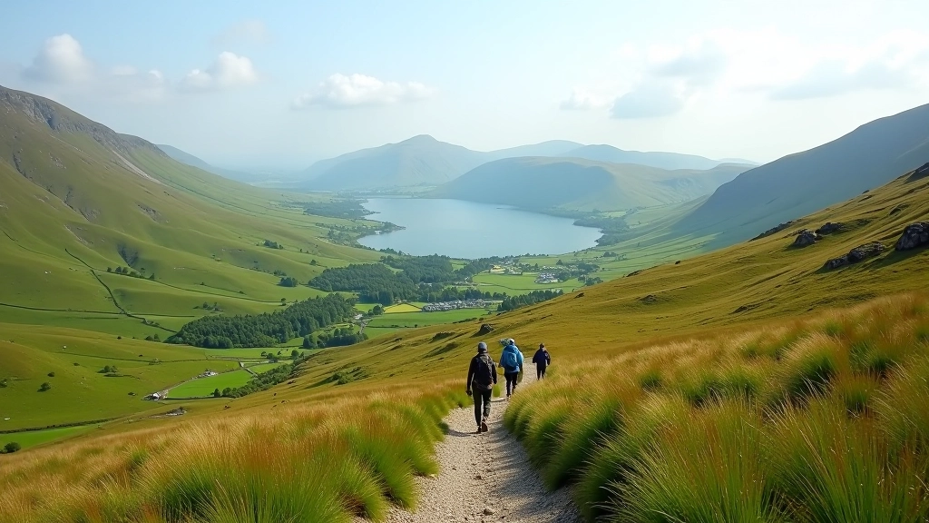
From the 1.5km point, the landscape opens completely. You're on open moorland with mountain views on all sides. The path is still clear and easy to follow, marked with occasional cairns. It's windier here, so if it's been raining, the ground might be boggy in spots — nothing serious, just watch your footing.
This section covers about 1.8km and takes roughly 30-35 minutes. The elevation gain is very gradual — you're climbing maybe 80 metres total across this stretch. Most people don't even notice it. You'll see the lake itself coming into view after about 2.5km of walking. It's worth slowing down here because this view is the reason you came.
1
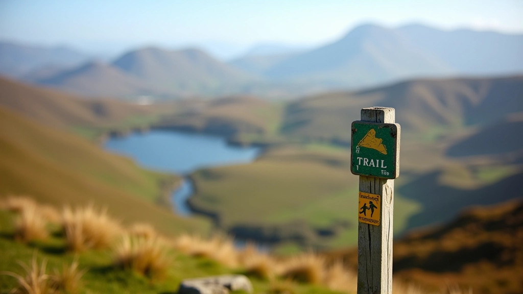
Watch for cairns: Small stacked stones mark the route. If you lose the path, look ahead for the next cairn.
2
Boggy patches: Avoid the wettest areas by stepping on firmer ground. They're not dangerous, just uncomfortable.
3
Weather changes: Cloud can come in quickly on moorland. If visibility drops, stay calm and follow the path downward.
Reaching the Lake — The Best Views
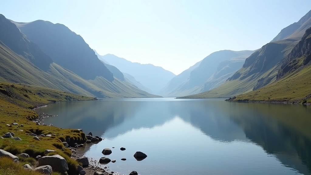
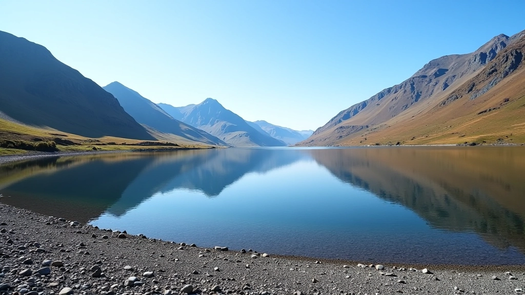
At around 2.5-2.8km, you'll drop down to the lake shore itself. This is where the route really shines. The water is crystal clear on good days, and if the light's right, you can see the whole mountain reflection. There's a gravel beach area where you can actually sit right by the water. Don't miss this. This is your main rest point — spend 15-20 minutes here, eat something, drink water, take photos. You've earned it.
The lakeside path is gentle and mostly flat. You'll walk along the shore for about 1km, which takes 15-20 minutes. The ground is a mix of grass and gravel, easy underfoot. In summer, it can get a bit marshy in one or two spots, but nothing serious. Keep an eye on the water level — after heavy rain, the path might be slightly underwater in the lowest sections. If that happens, you can just skirt up onto the higher ground.
The Return Journey — Downhill and Done
After the lakeside section, the path climbs back up slightly to rejoin the main route. From there, it's mostly downhill back to the car park. This is the easiest part of the walk — gravity's helping you. The return takes about 45 minutes to an hour depending on how tired you are. Don't skip this just because it's downhill. Downhill puts stress on your knees and ankles, so take your time and use walking poles if you have them.
The final kilometre brings you back into the forest section where you started. You'll recognize the wooden bridge and the track you came in on. The car park appears quite suddenly — you'll see the buildings and know you're done. Total time: roughly 2 hours for the whole loop at a comfortable pace with a proper rest at the lake.
Route Summary
- Total distance: 5.2km
- Total time: approximately 2 hours
- Elevation gain: 150 metres (gentle throughout)
- Difficulty: Easy to moderate
- Best rest point: Lakeside beach area at 2.5-2.8km
Practical Considerations
Footwear Matters
Waterproof hiking boots with good ankle support are worth the investment. The moorland section can be boggy, and proper boots keep your feet dry and stable.
Water & Snacks
Bring at least 1.5 litres of water and some energy food — a bar, nuts, or a sandwich. You'll want proper fuel for the return journey.
Walking Poles
Not essential, but they genuinely help on the return downhill section. They reduce impact on knees and give you extra stability.
Timing
Start early — 9 or 10am is ideal. This gives you time without rushing and ensures daylight for the return journey.

Before You Go
This route description is informational and based on typical conditions. Mountain weather changes rapidly — always check the forecast before you leave. If you're new to hiking, consider going with an experienced friend or booking a guided walk. The route is marked but navigation still requires attention. Bring appropriate gear, tell someone where you're going, and turn back if conditions deteriorate. Your safety is your responsibility.
Related Articles